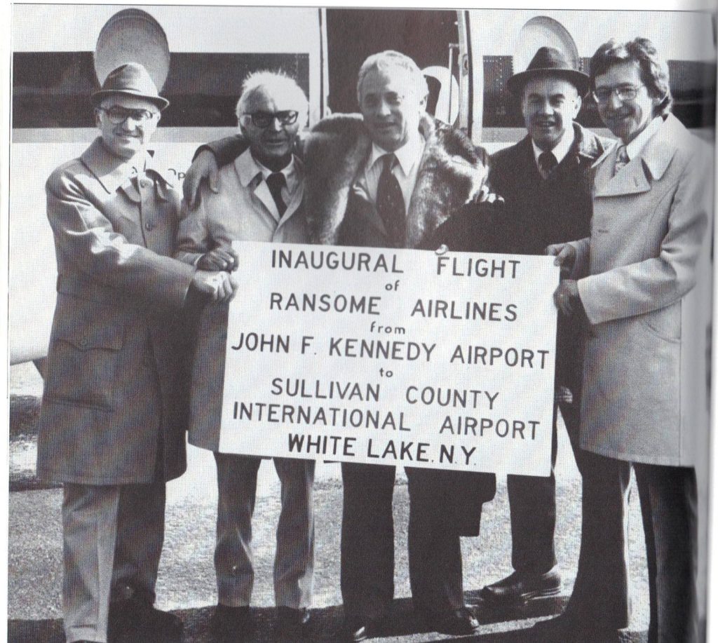
Sullivan County International Airport (IATA: MSV, ICAO: KMSV, FAA LID: MSV) is in Bethel, Sullivan County, New York. It is seven miles northwest of Monticello, a village in the Town of Thompson. The National Plan of Integrated Airport Systems for 2011–2015 categorized it as a general aviation facility.
Built in the 1960s, the airport is now a Part 139 certified airport capable of handling business jets.
Facilities
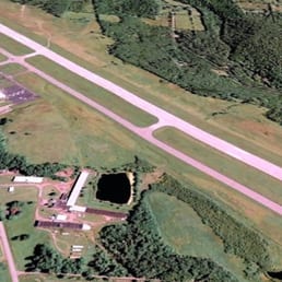
The airport covers 600 acres (243 ha) at an elevation of 1,403 feet (428 m). Its runway, 15/33, is 6,298 by 150 feet (1,920 x 46 m) asphalt.
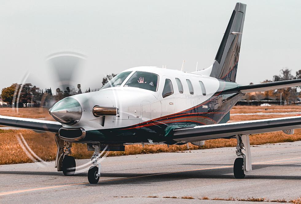
In the year ending October 31, 2011, the airport had 28,650 aircraft operations, average 78 per day: 99% general aviation and 1% air taxi. 41 aircraft were then based at the airport: 78% single-engine, 10% multi-engine, 7% jet, and 5% helicopter.
See also
- List of airports in New York
References
External links
- Sullivan County International (MSV) at NYSDOT Airport Directory
- Aerial image as of May 1997 from USGS The National Map via MSR Maps
- FAA Terminal Procedures for MSV, effective March 20, 2025
- Resources for this airport:
- FAA airport information for MSV
- AirNav airport information for KMSV
- ASN accident history for MSV
- FlightAware airport information and live flight tracker
- NOAA/NWS weather observations: current, past three days
- SkyVector aeronautical chart, Terminal Procedures